


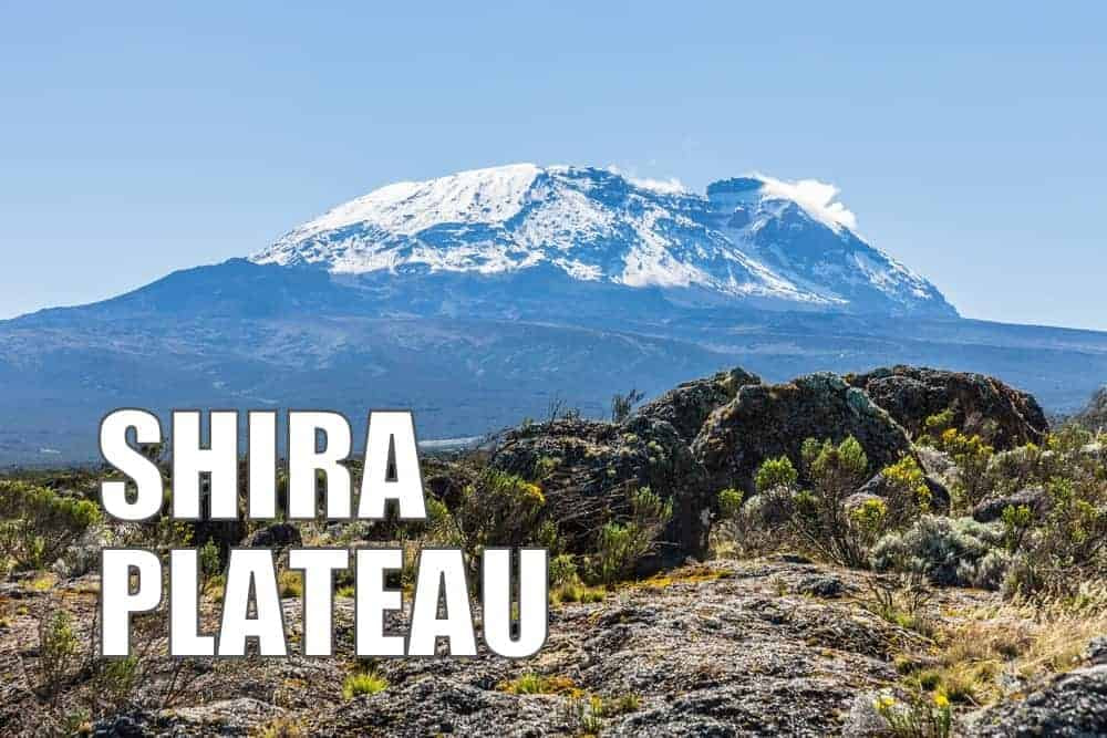
Where is Shira Plateau?
The Shira Plateau is a vast, elevated area located on the western slopes of Kilimanjaro. Sitting at an altitude between 11,500 to 13,000 feet (3,500 to 3,960 meters), the Shira Plateau offers beautiful views and a pleasant ecological environment. It lies directly west of Kibo, the central volcanic massif of Kilimanjaro, and is bounded by the steep ridges that typify the mountain’s western face.
How Was Shira Plateau Formed?
The plateau’s origins are as dramatic as the landscape itself. The story begins millions of years ago, when Mount Kilimanjaro formed as a result of the active continental rifting. As lava spouted through fractures in the earth’s surface, three volcanic cones (Shira, Mawenzi and Kibo) emerged. Over time, Shira grew to a height greater than 16,000 feet (4,877 meters).
Once volcanic activity stopped around 500,000 years ago, the Shira cone collapsed into a huge caldera. The once towering cone surrendered to the forces of gravity and erosion, flattening into the land we see today while Shira’s sister cones, Kibo and Mawenzi, still stand today.
What is the Climate of Shira Plateau?
The Shira Plateau lies within the heath/moorland zone of Kilimanjaro. The temperatures in this climate zone average around 50 degrees Fahrenheit (10 degrees Celsius) during the day, but can fall below freezing at night. Annual precipitation ranges from 51 to 21 inches (1,300 to 530 mm).
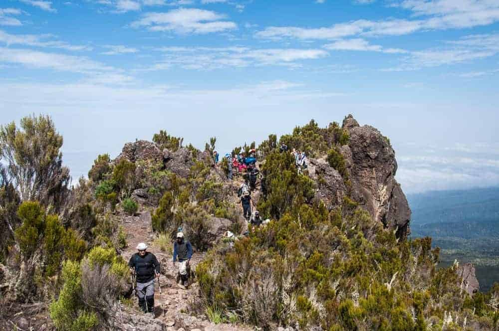
What Plants and Animals Can Be Found on Shira Plateau?
There is an assortment of low growing, woody, alpine vegetation here. Giant heathers, groundsels, and lobelias dot the landscape, thriving in the plateau’s rich volcanic soil. While the animal life is less visible at this altitude, the area is not devoid of wildlife. The plateau is home to a variety of bird species and small mammals. On rare occasions, even elephants, buffalo and eland roam the fringes of the plateau.
Which Routes Visit Shira Plateau?
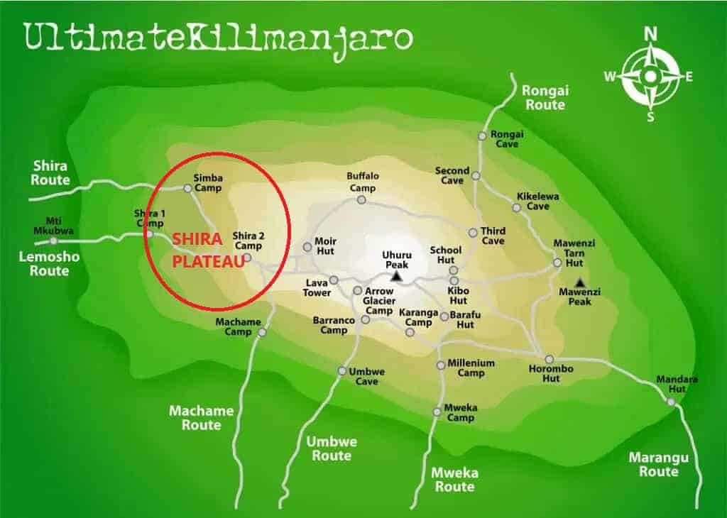
The Kilimanjaro routes that approach from the west cross the entirety of Shira Plateau. This includes the Shira, Lemosho, and Northern Circuit routes. The Machame route, which advances from the south, does not cross the plateau, but does visit the area.
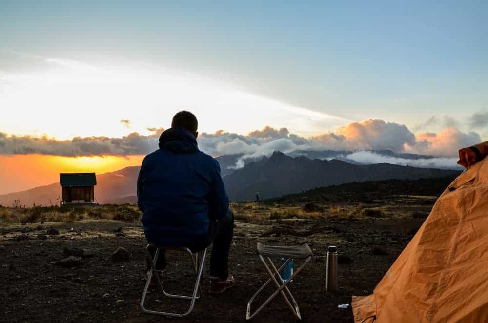
There are three campsites situated on Shira Plateau:
- Simba Camp: 11,800 feet (3,595 meters), campsite for Shira route
- Shira 1 Camp: 11,500 feet (3,505 meters), campsite for Lemosho and Northern Circuit route
- Shira 2 Camp: 12,500 feet (3,810 meters), campsite for Shira, Lemosho, and Northern Circuit route
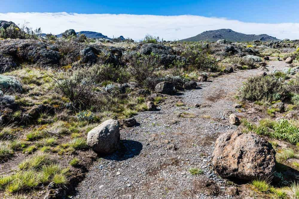
As climbers ascend from the lower rainforest zone, they enter into the heath and moorland zone of Shira Plateau. The terrain is quite easy to tackle, given its flat, compacted surface and minimal elevation gain. When the weather is clear, trekkers will enjoy early, unobstructed views of Kilimanjaro’s summit from the trail.
What is Shira Cathedral?
The Shira Cathedral is a short ridge-summit high on the southern rim of the Shira caldera. It sits at an elevation of approximately 12,200 feet (3,720 meters).
Its formation is a direct result of Kilimanjaro’s volcanic activity. Following the collapse of the Shira cone, erosion sculpted the remaining caldera into the rugged, peaked formation we see today. The ridge resembles a medieval cathedral’s spire, hence the name.
The trek to Shira Cathedral involves a moderate side hike on the way to Shira Camp 2. Climbers are treated to a variety of terrains, including rocky paths and sparse vegetation, typical of the alpine desert zone. The ascent to the base of the Cathedral is marked by a steep climb, making it a challenging but rewarding detour for those with time.


")

